 EMODnet Product Catalogue
International Union for Conservation of Nature (IUCN)
Type of resources
Available actions
Topics
Keywords
Contact for the resource
Provided by
Years
Formats
Representation types
Scale 1:
-
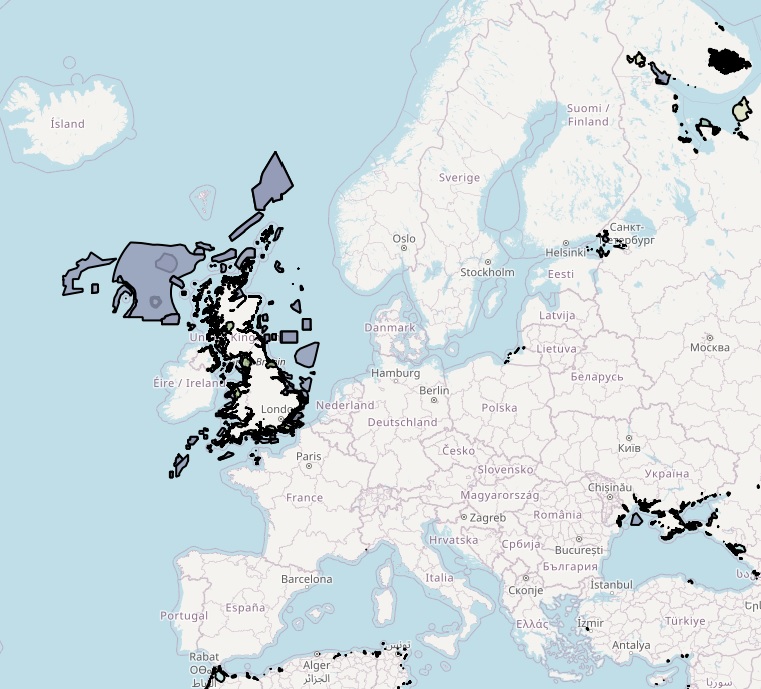
The dataset on coastal and marine protected areas in the European seas for those countries or territories that are not covered by the the EEA's Common Database on Designated Areas (CDDA) was created in 2022 by Cogea for the European Marine Observation and Data Network (EMODnet). This dataset is entirely based on GIS vector data from UNEP-WCMC and IUCN 2023, (Protected Planet: The World Database on Protected Areas, WDPA, [Online], September 2023, Cambridge, UK: UNEP-WCMC and IUCN, available at: www.protectedplanet.net), plus additional info and selected tabular data added as feature attributes, as well as the calculation of marine and coastal location of features. It is available for viewing and download on EMODnet web portal (Human Activities, https://emodnet.ec.europa.eu/en/human-activities). The WDPA is the most comprehensive global database of marine and terrestrial protected areas, it is a joint project between UN Environment Programme (UNEP) and the International Union for Conservation of Nature (IUCN), and it is managed by the UNEP World Conservation Monitoring Centre (UNEP-WCMC), in collaboration with governments, non-governmental organisations, academia and industry. In the webmap the dataset has been filtered in order to show only marine and coastal areas. Geographical coverage: Algeria, Antigua and Barbuda, Barbados, Belize, Colombia, Costa Rica, Cuba, Denmark (only the Faroe Islands), Dominica, Dominican Republic, Egypt, France (only Guadeloupe, Martinique, Saint Barthélemy, Saint Martin French part), Georgia, Grenada, Guatemala, Haiti, Honduras, Israel, Jamaica, Lebanon, Mexico, Monaco, Morocco, Netherlands (only Aruba, Curaçao, Bonaire, Sint Eustatius and Saba, Sint Maarten Dutch part) Nicaragua, Norway (only Svalbard and Jan Mayen), Palestine, Panama, Russian Federation, Saint Kitts and Nevis, Saint Lucia, Saint Vincent and the Grenadines, Trinidad and Tobago, Tunisia, Turkey, Ukraine, United Kingdom (including Anguilla, British Virgin Islands, Cayman Islands, Guernsey, Isle of Man, Jersey, Montserrat), United States (only Puerto Rico, the US Virgin Islands and the US Minor Outlying Islands in the Caribbean Sea), Venezuela. Where available each polygon has the following main attributes: country code, territory code, country name, territory name, WDPA ID, name (english and original), designation name (english and original) and type (International, National, Not Applicable, Regional), IUCN category and description (Ia: Strict Nature Reserve; Ib: Wilderness Area; II: National Park; III: Natural Monument or Feature; IV: Habitat/Species Management Area; V: Protected Landscape/ Seascape; VI: Protected area with sustainable use of natural resources; Not applicable; Not assigned; Not reported), marine location (1: predominantly marine; 2: entirely marine), area sqkm (reported, calculated), marine area sqkm (reported, calculated), status (Adopted, Designated, Established, Inscribed, Not Reported, Proposed), government type (Collaborative governance, Federal or national ministry or agency, For-profit organisations, Government-delegated management, Indigenous peoples, Individual landowners, Joint governance, Local communities, Non-profit organisations, Not Reported, Sub-national ministry or agency), ownership type (Communal, For-profit organisations, Individual landowners, Joint ownership, Multiple ownership, Non-profit organisations, Not Reported, State), management authorithy and plan info, marine/coastal location (1). For further information please visit the Protected Planet website. Compared with the previous release, this one includes the updated dataset 'WDPA_Sep2023_Public' published by the WDPA in September 2023 and it includes the marine and coastal protected areas in the Caribbean Sea.